
.Current version is 1.37
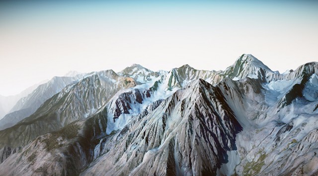
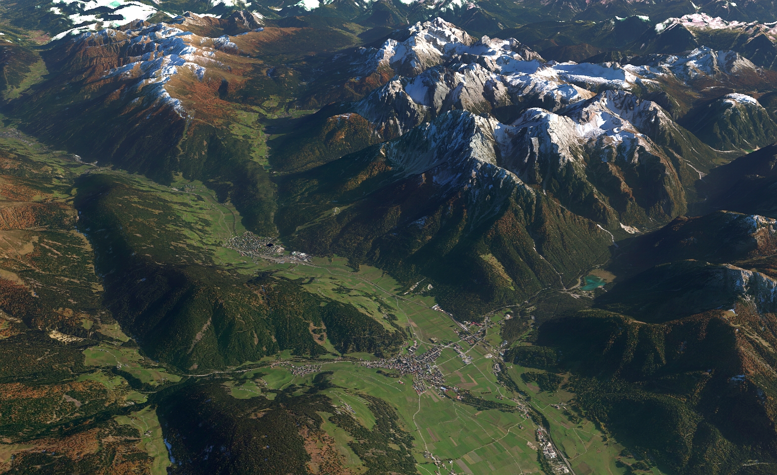
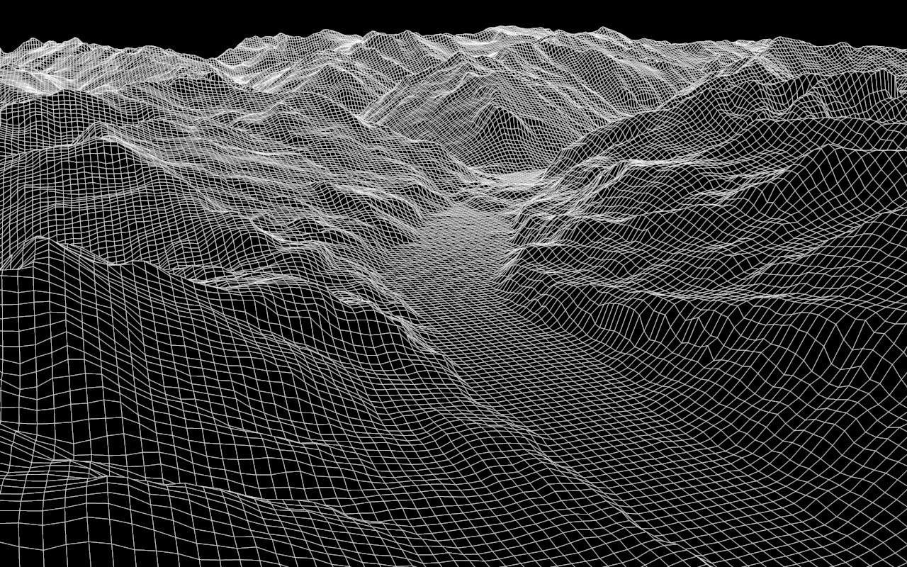
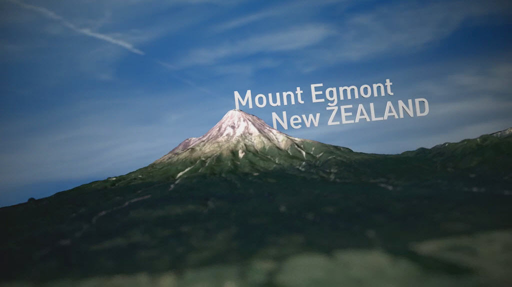
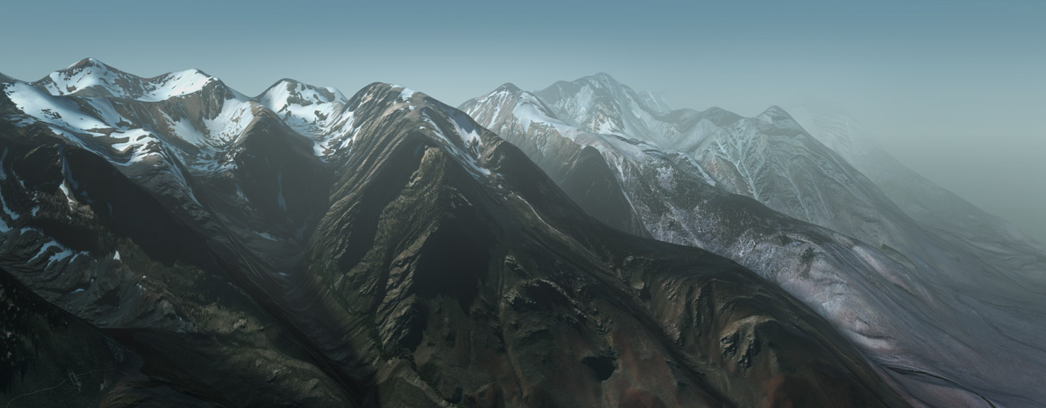
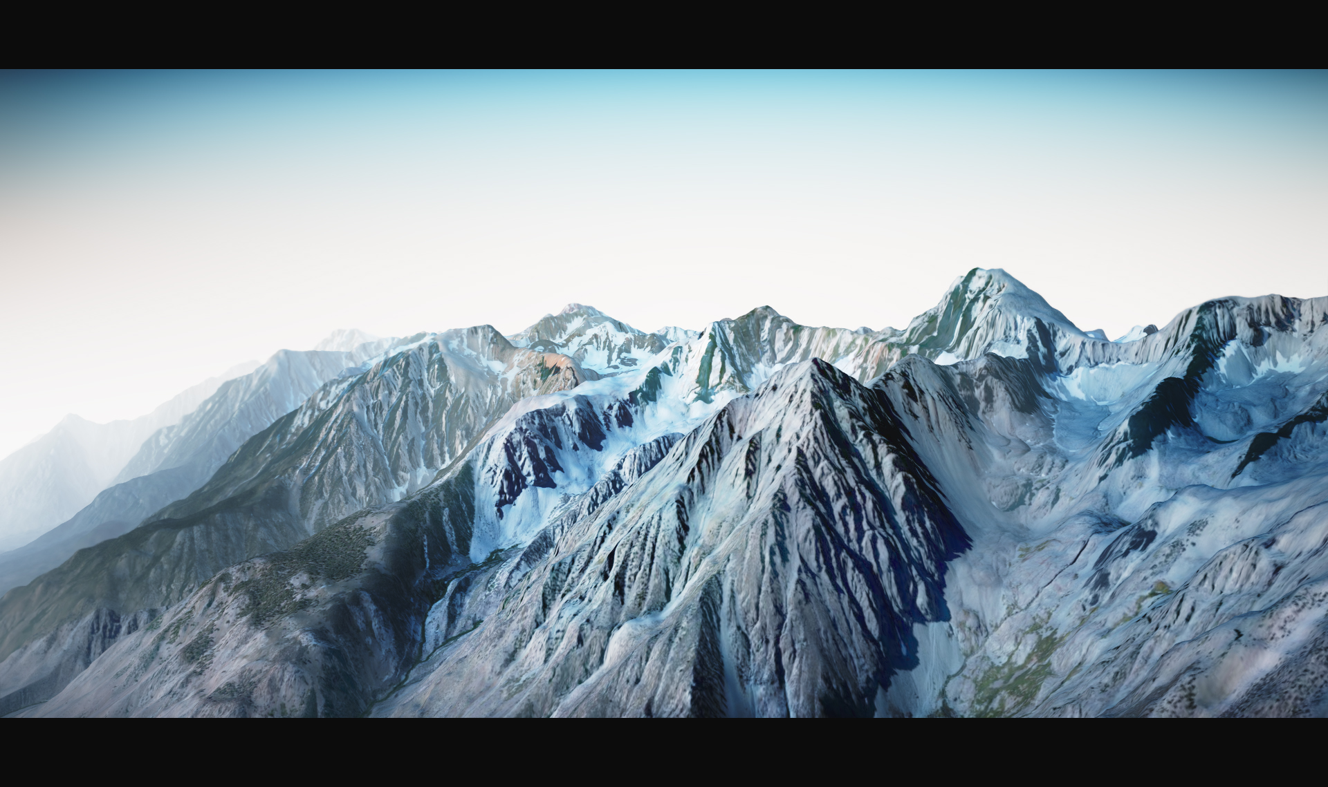
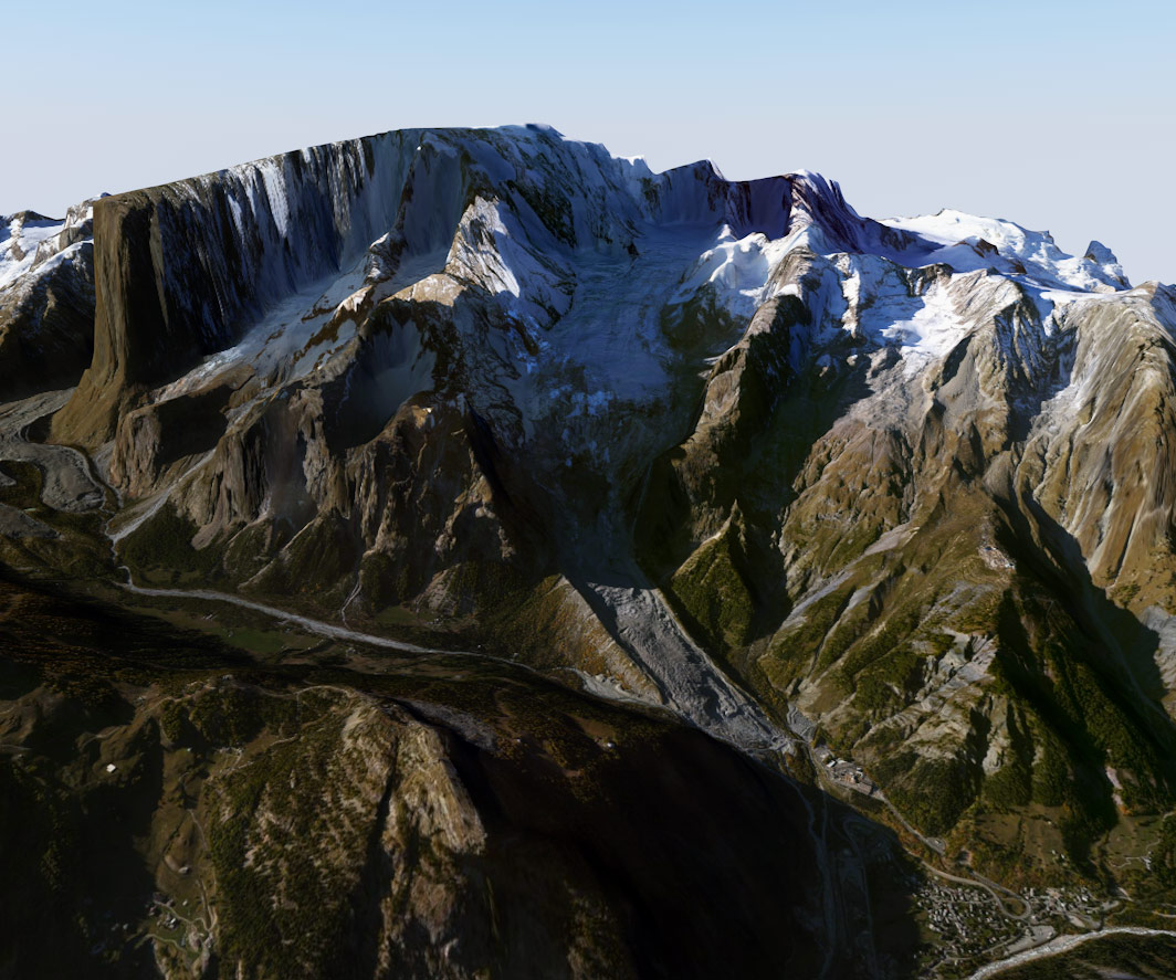
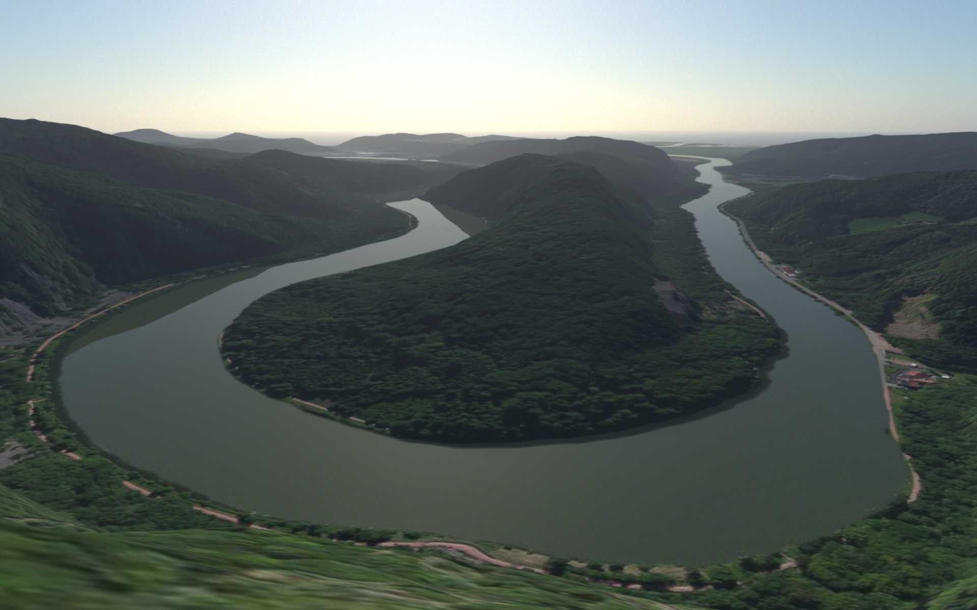
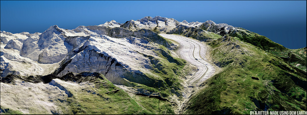
Easily Generate dynamic Digital Elevation models and georeference them in real-time to your world imagery.DEM Earth automatically Downloads the data it needs to build the model you want. All you have to do is provide a Geographic coordinate.
Produce real-time interactive and dynamic landscapes which you can pan, zoom and animate and place anything on,in any way you want.
What you get:
DEM Earth Generator- A realtime landscape generator which automatically downloads and caches DEM data for you, for the entire world.
PinPoint Object – Used for placing any 3D object on DEM Earth landscape with ability to dynamically scale and move with the landscape.
Way Object – A flexible spline Generator for Visualizing paths between objects on the landscape.
Coverage Command – Visualize what DEM files your have already cached.
GeoPointConverter – together with the Tools4D OpenStreetMap importer,easily overlay massive OSM data sets onto DEM Earth.
GPX track Import- drag and drop your gpx file into c4d, DEM Earth does the rest.
World File Import- drag and drop industry standard World files into C4D and DEM Earth will create the landscape for you and overlay your image automatically.
ASC height Import- Embed super high res height, commercial DEM or DSM data, directly into DEM Earth, using industry standard ASC format (*Esri Grid, WGS84 geographic ).
Automatic 90m DEM Data downloader – Included.
Quickstart guide & Examples Via Dropbox.
*One Year Support- Included. Giving you full access to the following features during the support period.
*Free updates – Included.Get all new updates and features free.
*Automatic 30m DEM Data downloader – Included.
*DEM Earth Image Downloader – Included. Easily capture web-based images from a multitude of open sources.
Compatibility
C4D R13,R14 & R15
MAC and PC 64bit
Vray, Indigo & Octane Render Engines.
* Options
More registration numbers (11 numbers) It is very cost effective to Add extra machines to your Account….


FAQ
What do I need to use DEM Earth ? Cinema4D R13,R14 or R15. OSX or windows 64bit.An Internet connection
Does DEM Earth download DEM Data for me? Yes . DEM Earth utomatically downloads 90m data based on the ASTGTM data set, for free, you can also get high res data from our server (where available) for more accurate terrain.
Do I have to keep downloading data? Initially, yes. But each tile(file) is downloaded and cached locally. So the next time you use this tile it is read from the local cache.
Can I bake out my landscape? Yes , you can easily convert your model to a standard polygon object.